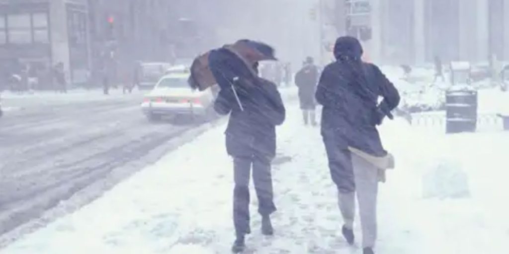
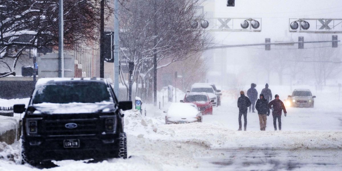
Nasty and brutal weather has taken hold in the Northeast, as our pattern shifts into winter mode across a large area. Strong low pressure in the Great Lakes is currently transmitting energy to coastal/near-coastal portions of the Tri-State region.
while of now, rainy and harsh conditions prevail, with temperatures hovering in the 40s while a cold rain falls. However, when our new low-pressure system intensifies, rain will turn to snow in higher-elevation hills and the Catskill Mountains of New York and Pennsylvania.
In locations with the most convection, 12-18″ of snow may fall. Elsewhere, lesser snow and/or a combination of rain and snow are expected north and west of New York City. The coast will get cold rain with occasional graupel.

Behind our low pressure, when clear skies prevail and cold air sweeps in, we may get frost and freeze conditions in parts of North and South Carolina. Frost advisories are currently posted throughout central and eastern North Carolina, with some extending into north-central South Carolina. Frost conditions overnight could cause damage or destroy late-season crops or plants, so use caution throughout the late night/early morning hours.
Expect on-and-off rain today, as temperatures fall into the 40s. Overnight temperatures will range from the mid to upper 30s, with on and off showers. Some of these rains may contain wet flakes or graupel. The same is true for tomorrow, with temperatures in the mid-40s and intermittent chilly showers.
On Saturday, we’ll get clouds in the morning and sun in the afternoon, with highs of about 50. We recover nicely on Sunday, with full sunshine and temperatures in the low 50s.
Our beautiful weather continues on Monday, with more sunshine and temperatures in the mid-50s for a comfortable day.


