Our West Coast storm system is rapidly moving across the Rockies and into the Great Plains as the day progresses. As the system begins to dry out, things appear to be somewhat normal.
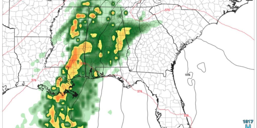
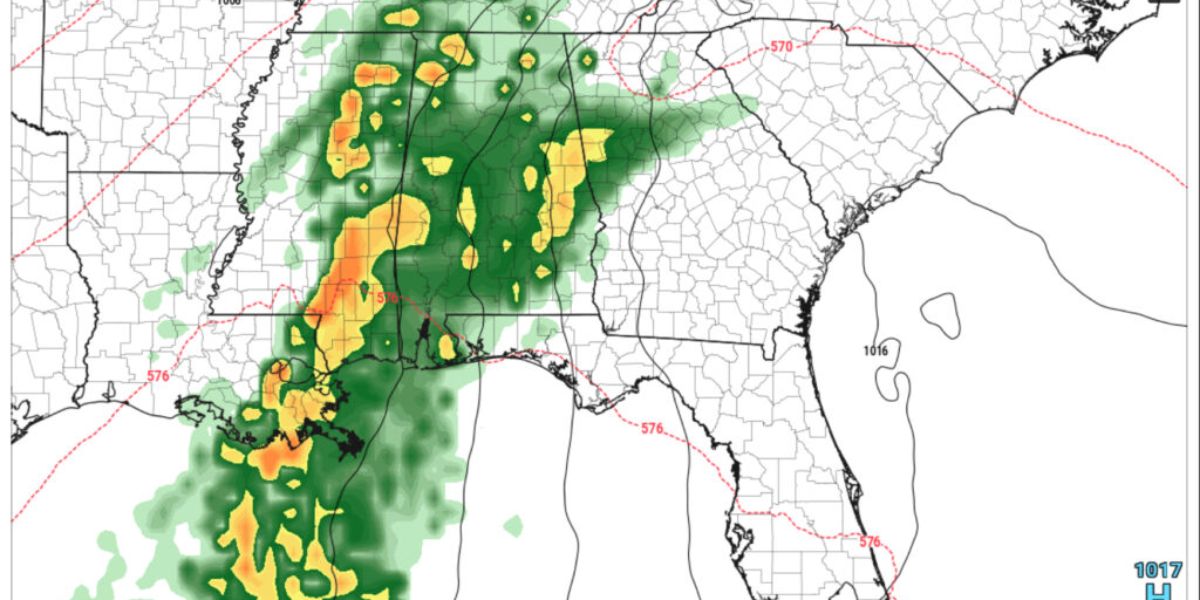
However, a cold front pushing down across Texas will finally reach Louisiana and pick up some Gulf of Mexico energy, resulting in a narrow band of heavy showers and thunderstorms. This narrow line is projected to run from Kentucky, Tennessee, Alabama/Mississippi, and down through Louisiana.

While we do not expect widespread severe weather at this time, there is fear that this small band of strong thunderstorms will develop into a destructive gust front. Straight-line winds over 45-50 mph might pass through the aforementioned states at a reasonable pace. We may also have brief heavy rain, frequent lightning, and small hail.
We may see a larger, more organized system late in the week, capable of heavier rain over a longer time. This may enhance the risk of rain flooding, and we will be on the alert for more thunderstorm activity. Make preparations for tomorrow evening and overnight to preserve items that may be damaged or blown away, such as light outdoor furniture and decorations.


