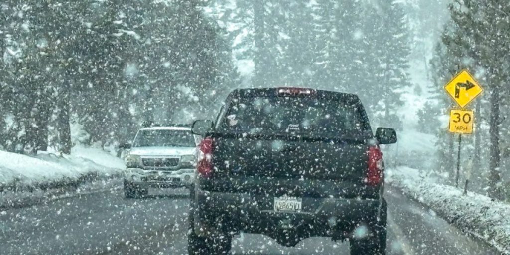
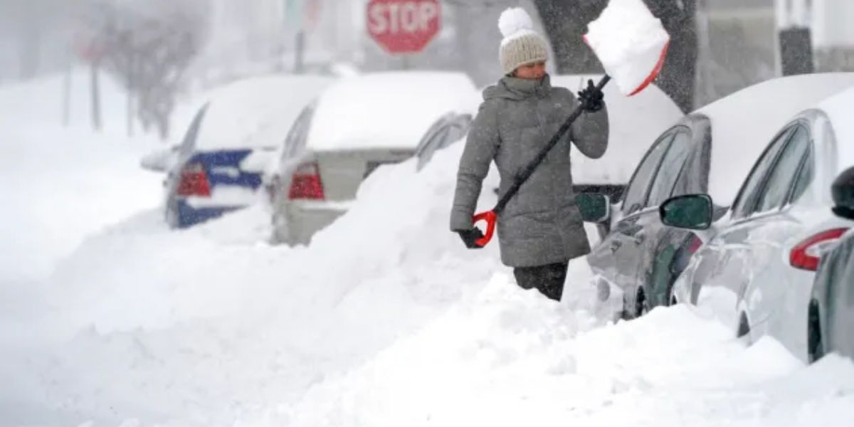
As predicted and anticipated, our West Coast storm, which was responsible for severe rains in central California and heavy snows in the Sierra Nevada, has now set its sights on the Rockies.
Heavy snow and strong winds are making their way into Utah and Colorado after dumping 1-3 feet of snow on higher-elevation mountains in California and Nevada.

We predict more of the same in Utah and Colorado, particularly in Steamboat Springs and Grand Junction, Colorado, and the Wasatch Mountains in Utah.
Wyoming may also get some snowfall, with the Sierra Madres anticipating 1-2 feet. Wind gusts may exceed 50 mph in some areas, resulting in near-blizzard conditions with limited visibility and blowing/drifting snow.
As a result, the National Weather Service extends its Winter Storm Watch for higher elevations in central and eastern Utah, western and central Colorado, and areas of Wyoming along the central Colorado border until noon tomorrow MST.


