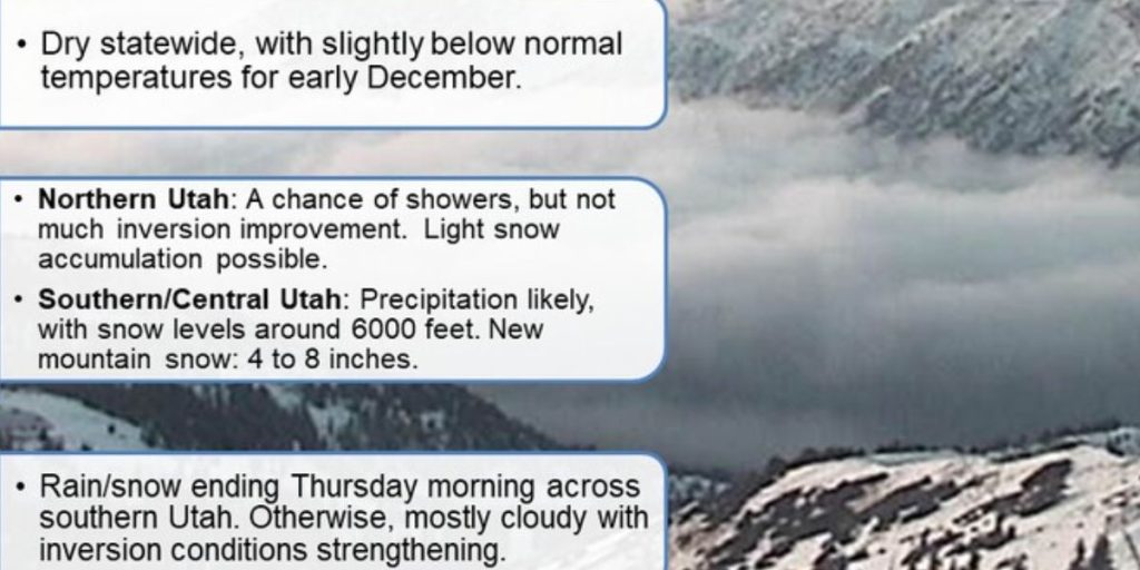
A high-pressure system firmly entrenched along the West Coast will cause a prolonged dry weather pattern in Utah into next week. This ridge is bringing about steady circumstances and steadily warmer temperatures.
In the short term, mountain temperatures will rise somewhat as air masses aloft warm from -4°C today to around 2°C on Monday.

However, valley temperatures will remain stagnant due to a thickening inversion, with cloudy conditions expected by early next week.
Looking forward, a small storm system may pass into northern Utah late next week, although the likelihood of significant precipitation remains low, at around 20%.
Until then, Utah residents could expect quiet, dry, and gradually foggy skies.


