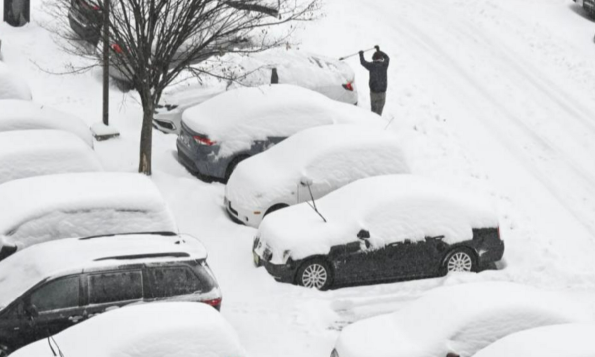
A significant winter storm has swept across the northeastern United States, blanketing cities and towns in heavy snowfall and causing widespread travel disruptions.
The storm, which began its approach on Saturday evening, moved from the Midwest towards the East Coast, intensifying overnight and into Sunday morning. Residents across New York, New Jersey, and Pennsylvania woke up to snow-covered streets, travel delays, and hazardous road conditions.
Snowfall Totals and Affected Areas
The storm delivered varying snowfall totals across different regions, with some areas receiving significant accumulations. In New York City, Central Park recorded 3.1 inches of snow by Sunday morning, while LaGuardia Airport saw slightly more at 3.6 inches. John F. Kennedy International Airport also reported 3.1 inches. The Bronx’s Fordham neighborhood recorded 4.6 inches, while parts of Long Island, such as Muttontown in Nassau County, saw even higher amounts, reaching 5.1 inches. In Westchester County and the Hudson Valley, snowfall totals ranged between 4 to 6 inches.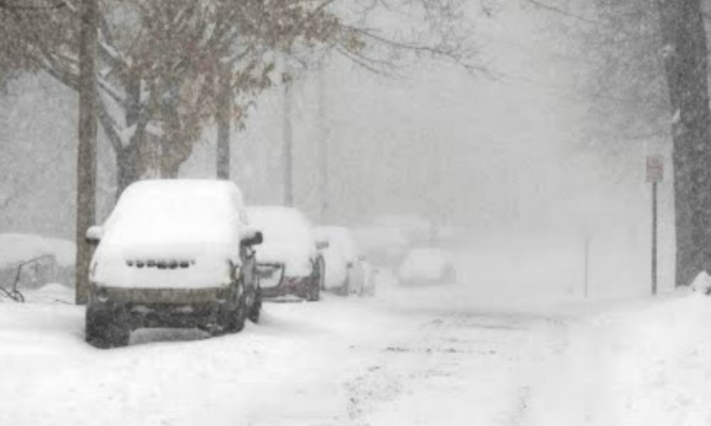
New Jersey was also hit hard by the storm. Newark Liberty International Airport reported approximately 3 inches of snowfall, while northern parts of the state recorded accumulations of up to 7 inches. The storm also brought a rare phenomenon known as “thundersnow” to Essex County—a weather event where thunder and lightning occur during intense snowfall.
Pennsylvania experienced some of the heaviest snowfall, particularly in the Lehigh Valley region. Lehigh Valley International Airport recorded 9.1 inches, making it the highest single-day snowfall total since February 2021. Nearby towns reported even more snow, with Bangor receiving 12 inches and Bethlehem accumulating 10.5 inches. The higher elevations and colder temperatures in these areas contributed to the storm’s severity.
Travel Disruptions and Safety Concerns
The heavy snowfall created dangerous travel conditions across the Northeast. Airports saw significant flight delays and cancellations, particularly in New York, New Jersey, and Boston. Travelers at John F. Kennedy and LaGuardia airports faced long wait times due to de-icing procedures and limited visibility. Ground transportation was also severely impacted, with local transit services experiencing delays due to icy tracks and snow-covered roads.
On the highways, numerous accidents were reported due to slippery conditions. Pennsylvania’s Interstate 80 saw a major pileup involving several vehicles, including two tractor-trailers and a state police cruiser. The crash resulted in at least one reported injury and led to temporary road closures as emergency crews worked to clear the scene. Authorities across affected states urged residents to avoid unnecessary travel and remain indoors if possible.
State Officials and Emergency Response
State officials responded quickly to the storm, deploying emergency services and resources to manage its aftermath. New York Governor Kathy Hochul issued a public advisory, urging residents to exercise caution and avoid travel unless absolutely necessary. Snowplows and salt trucks were deployed across the region to clear roads and improve driving conditions.
Similarly, Pennsylvania and New Jersey officials activated emergency response teams to assist stranded motorists and address power outages caused by the weight of the snow on power lines. Residents in some areas were left without electricity for several hours as utility companies worked to restore service.
Looking Ahead: More Snow and Rain Expected
While the storm has passed, meteorologists predict continued winter weather in the coming days. Temperatures across the region are expected to remain in the mid to low 30s, with another round of precipitation possible by midweek. Forecasters anticipate light snow on Tuesday night, followed by a warmer system that could bring rain on Thursday and Friday.
Authorities are advising residents to stay updated on weather alerts, prepare for fluctuating conditions, and drive cautiously as icy patches remain a concern on untreated roads.
Conclusion
The recent snowstorm has had a major impact on the northeastern United States, affecting travel, daily activities, and power supplies. With more winter weather expected, residents should remain vigilant, stay informed through reliable weather updates, and prioritize safety in the coming days.
Disclaimer—Our team has checked this article to ensure its accuracy and eliminate any misinformation. We are committed to providing clear and reliable information for our readers.