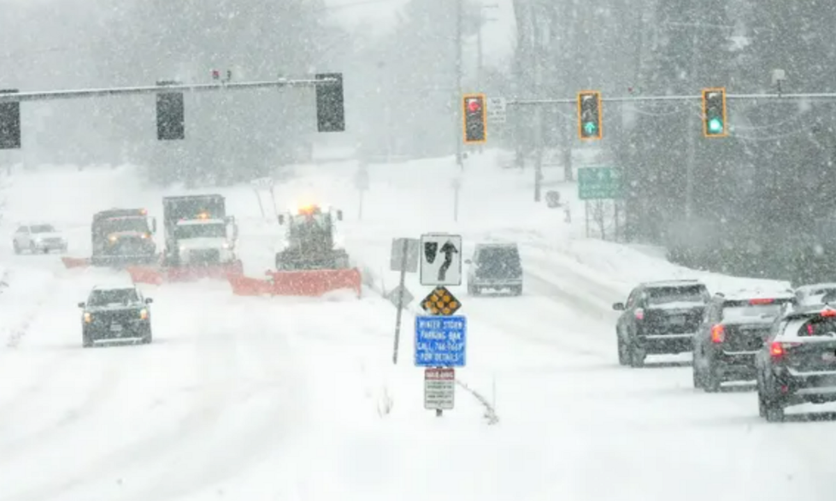
A series of winter storms is set to impact the northeastern United States this week, bringing significant snowfall and cold temperatures. Residents should prepare for hazardous travel conditions, potential disruptions, and bitterly cold wind chills.
First Snowfall: Monday Evening Light Snow
The first round of snow will arrive on Monday, primarily affecting northeastern Nebraska and drifting south toward Interstate 80. Much of the day will remain cloudy, with high temperatures reaching the low 30s.
By late afternoon, snow will begin developing in northeastern Nebraska and gradually spread south. The heaviest snow for Omaha is expected between 6 PM and 10 PM. Most areas will see light accumulations of less than an inch, but locations north of Omaha could receive slightly higher amounts. The snow will taper off by early Tuesday morning, leaving behind slick roadways and reduced visibility for morning commuters.
Tuesday: Colder Temperatures Before Next Storm
Following Monday’s snowfall, Tuesday will be mostly cloudy and significantly colder. Highs will struggle to reach the upper teens, and wind chills could make it feel even colder. While the day will remain mostly dry, another round of snow is on the horizon.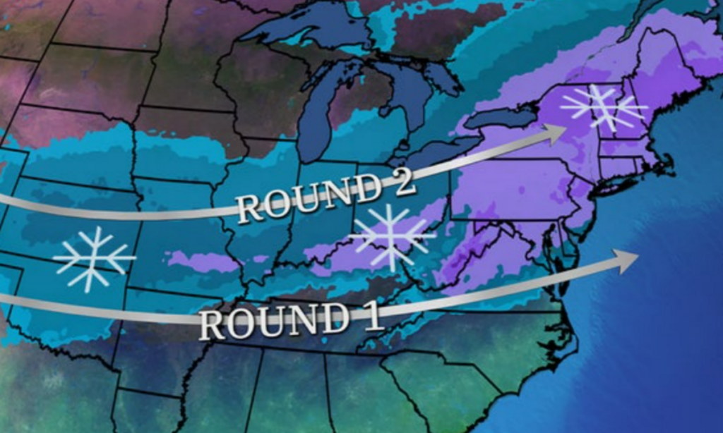
Second Snowstorm: Tuesday Night Through Wednesday
A more significant storm system will move into the region late Tuesday evening, bringing widespread snowfall across eastern Nebraska and western Iowa. Snow will develop after 8 PM and continue through Wednesday, tapering off by the afternoon.
Unlike Monday’s light snow, this second storm has the potential for several inches of accumulation. While exact totals are still uncertain, forecasters indicate that southern Nebraska, including areas near the Kansas border, will see the highest amounts. Widespread accumulations of 3-6 inches are possible, with locally higher totals in some spots.
Overnight lows from Wednesday into Thursday will drop below zero, with wind chills plunging to as low as -20°F in some locations. Although winds will not be excessively strong, even a light breeze could create blowing and drifting snow, reducing visibility.
Thursday: Clearing Skies But Frigid Air Remains
By Thursday, the snow will have exited the region, and sunshine will make a return. However, the arctic air mass behind the storm will keep temperatures bitterly cold. Highs will remain near 20°F, with morning wind chills still dangerously low.
Third System Possible by the Weekend
While conditions will briefly stabilize on Valentine’s Day, a third winter storm could develop by Friday night into Saturday. This system remains uncertain, but early indications suggest another round of snow could impact parts of the region over the weekend.
Preparing for the Winter Weather
Residents should stay alert to weather updates and prepare for difficult travel conditions throughout the week. With multiple rounds of snowfall and dangerously cold wind chills, it’s essential to:
Keep emergency supplies in your car, including blankets, food, and a flashlight.
Dress in layers to protect against the extreme cold.
Allow extra travel time and check road conditions before heading out.
Conclusion
This week will be marked by multiple winter storms, each bringing different challenges. Light snow on Monday, a heavier midweek snowfall, and another possible system by the weekend will keep the region in a winter weather pattern. Staying prepared and monitoring forecasts will be crucial in navigating this Winter week safely.
Disclaimer—Our team has checked this article to ensure its accuracy and eliminate any misinformation. We are committed to providing clear and reliable information for our readers.