
A significant winter storm is currently impacting the East Coast of the United States, bringing heavy snowfall, ice, and dangerously low temperatures to several states.
This weather event follows a series of storms that have recently affected the region, compounding challenges for communities already dealing with previous weather-related disruptions.
Storm Overview
Originating in the Midwest, the Snow storm has moved eastward, spreading across the Tennessee and Ohio Valleys. The National Weather Service reports that up to 10 inches (25 centimeters) of snow are possible along Virginia’s Atlantic coast, with significant ice accumulations expected in eastern North Carolina. These conditions are anticipated to make travel extremely hazardous and could lead to power outages in the affected areas.
State Responses
In anticipation of the severe weather, North Carolina Governor Josh Stein declared a state of emergency on Tuesday, emphasizing concerns about road conditions and potential power losses due to ice accumulation. He urged residents to prepare accordingly and avoid unnecessary travel. Similarly, Virginia remains under a state of emergency declared by Governor Glenn Youngkin, allowing state agencies and the National Guard to assist local governments in managing the storm’s impact.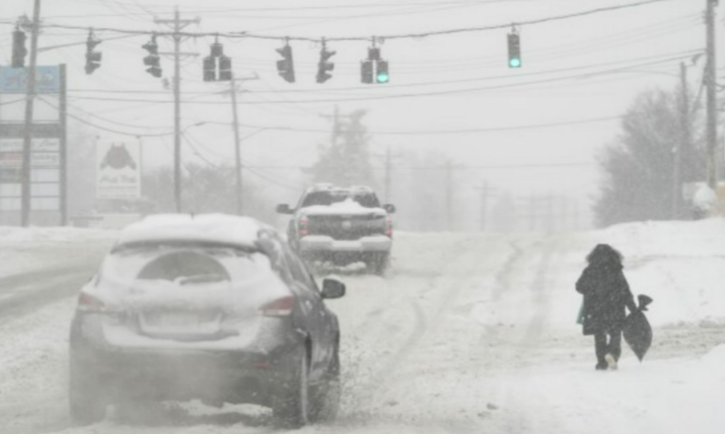
Impact on Communities
The storm’s arrival comes on the heels of devastating weekend floods that resulted in at least 17 fatalities, including 14 in Kentucky. Many of these areas are now facing the dual challenges of flood recovery and severe winter weather. Kentucky Governor Andy Beshear described the situation as “a snowstorm in the middle of a natural disaster,” highlighting the compounded difficulties for residents and emergency responders.
In southern West Virginia, McDowell County experienced significant flooding over the weekend, leading to three deaths, destruction of infrastructure, and widespread power outages. The incoming snow and ice are expected to severely hinder ongoing recovery efforts, with local officials focusing on ensuring residents have access to warmth and shelter during the frigid conditions.
Record-Breaking Cold
The storm is accompanied by a polar vortex, causing temperatures to plummet across a vast portion of the country. Bismarck, North Dakota, recorded a low of minus 39 degrees Fahrenheit (minus 39.4 degrees Celsius) early Tuesday, breaking a record set in 1910. The National Weather Snow Service warns that the most severe cold is expected to occur early Thursday and Friday, with more than 80 million people across the nation’s midsection experiencing frigid temperatures.
Precautionary Measures
Authorities in the affected states are urging residents to stay indoors, avoid travel if possible, and take necessary precautions to stay warm. Hundreds of public school districts in Oklahoma, Nebraska, Kansas, and Missouri have canceled classes or shifted to online learning to ensure student safety. Emergency services are on high alert, prepared to respond to weather-related incidents and assist those in need.
Looking Ahead
While the immediate forecast predicts continued cold and challenging conditions, some relief is expected as temperatures are projected to rise above freezing by the weekend. Residents are encouraged to stay informed through local news and official channels, adhere to safety guidelines, and support community efforts to navigate this severe weather event.
Disclaimer—Our team has checked this article to ensure its accuracy and eliminate any misinformation. We are committed to providing clear and reliable information for our readers.