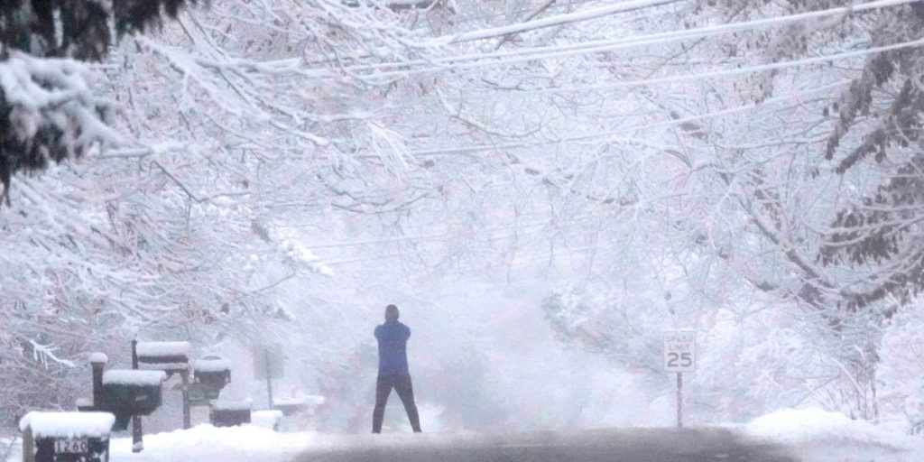
Several weeks ago, during a long-range forecast, we mentioned the prospect of very cold air arriving close to or during the weekend of November 30th across the Midwest, Central States, Northeast, and New England. Now that the components are fitting together, we may expect further reinforcing shots of cold air, possibly very cold air, to kick off in December.
Some states, including North Dakota, South Dakota, Minnesota, and possibly Iowa, may experience low temperatures near or below zero beginning next month. Meanwhile, the exit of our late-week system appears to have activated the Lake Effect snow machine throughout areas of New York, Pennsylvania, and Ohio. Ahead of that system, we could see some high-elevation snow and/or freezing rain on Thursday and Friday.
This is all part of a much colder pattern building, which will bring temperatures to broad swaths of real estate that are normally reserved for late December through late January. Even in coastal North Carolina, South Carolina, and Georgia, where deep-winter temperatures generally range between 50 and 55 degrees, maximum temperatures may only reach the 40s by the first week of December.
Overall, the setting is set for an abnormally cold start to the season in the Midwest, Northeast, and New England, followed by the Mid-Atlantic and Southeast. However, we cannot discuss snow chances or systems to take advantage of the cold air just yet. Typically, when we get a cold blast at this height, the air is quite dry, except for large Lake Effect snows when the wind profile is optimal.

Expect a mix of sun and clouds today, with windy conditions persisting. Winds may gust to 30-35 mph, with highs reaching 50 degrees, although the wind will make it feel colder.
The wind dies down overnight tonight, and tomorrow continues to look like the nicest day of the week. We’ll see sunshine and high temperatures in the low to mid-50s. On Tuesday, temperatures will remain in the mid-50s, but there will be clouds and rain.
Clouds will lessen on Wednesday with temperatures near 50 degrees, then climb overnight with our next system. Expect a mostly cloudy day on Thursday with showers and temperatures near 50 degrees, followed by a cold rain overnight into Friday, resulting in a raw day in the 40s.
Don’t rule out a few moist flakes mixed in with the rain.
Saturday and Sunday clear out, but we forecast blustery conditions in the 40-45 area, putting us below normal temperature-wise.


