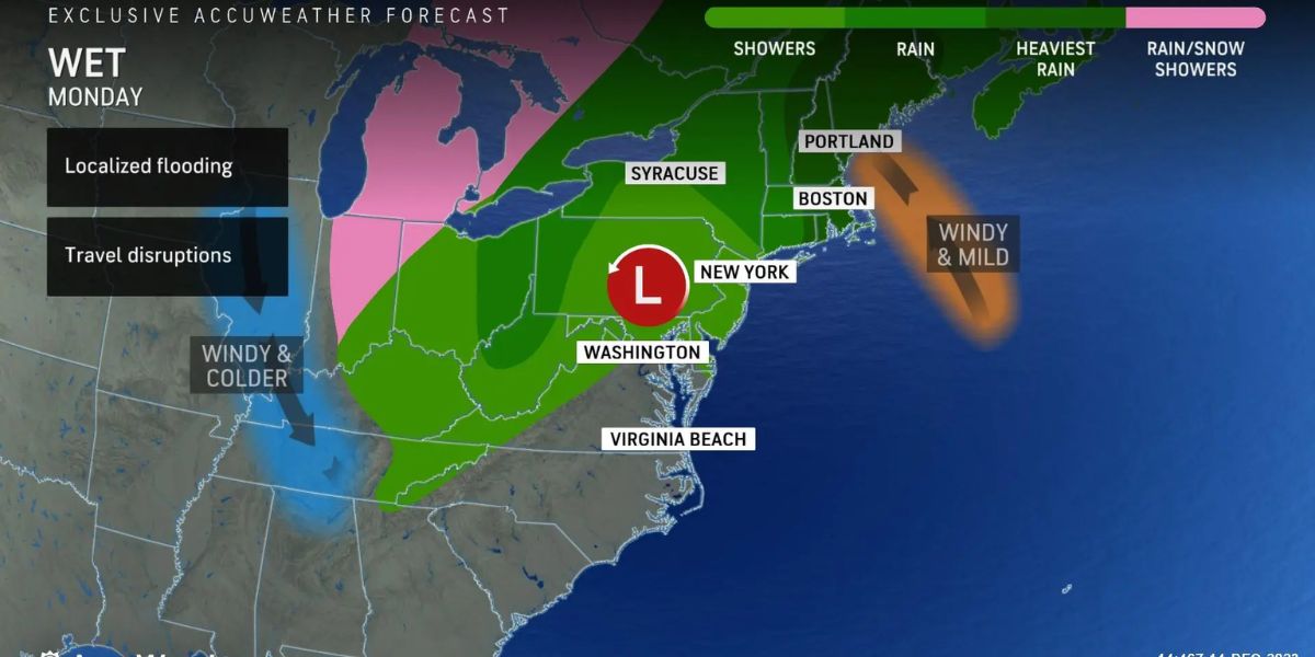
Today will be the final full day of sunshine in parts of the Northeast until next week. We have an active pattern developing, with some drought relief on the way. It won’t be ideal or cure all of our problems, but several inches of rain may fall in certain areas during the next five days.
We have two features on the map right now that will influence the prediction for the Northeast and New England. Our first feature is low-pressure rushing across the Upper Plains and into Canada.
The second is the residual front, which is generating a new surge of energy along the Gulf Coast by tapping into tropical energy. Low pressure will dissipate in the Great Lakes before re-emerging as Gulf Coast energy surges northward.
As a new low-pressure system travels east into the Ohio River Valley, it will bring heavy rain to the Mid-Atlantic, Northeast, and New England. Low pressure will dissipate, and spokes of energy will rejuvenate or re-spawn new low-pressure systems along the coast.

This will keep rainy weather along the Northeast’s coasts, with some rain turning to snow in the interior of New York, Pennsylvania, and maybe northwest New Jersey.
Currently, our concentration is on sections of Florida, Alabama, and Georgia. Our re-energized front is contributing to a large number of heavy showers and thunderstorms moving east/northeast. This is bringing torrential rainfall, thunder, and strong winds to the area. In the same circumstances, we have some isolated severe weather, particularly in Alabama’s offshore portions and the Florida panhandle.
Prepare for locally destructive gusts, hail, frequent lightning, torrential rain, and the possibility of a few waterspouts. This huge group of heavy showers and thunderstorms will gradually extend across the rest of Georgia and northern Florida. The biggest possibility of seeing strong to severe thunderstorms will be ahead of this batch, with individual cells in the lowest quadrant of our system.
Enjoy the rest of the sunlight today, with low winds and highs of about 60. Tomorrow’s morning sun will shine, followed by cloudy skies and temperatures approaching 60 degrees. Rain is expected overnight, making for a cool and damp day.
On Thursday, expect intermittent showers and cold temperatures in the upper 40s. Friday gets even nastier as low pressure dumps more chilly air down the Hudson River valley and over the region.
We’ll get more on-and-off showers and downright awful weather as highs remain in the low 40s at best. Overnight Friday, expect some graupel or wet flakes mixed in with any showers as temperatures drop into the mid-30s.
We’re still in the 40s on Saturday, with mostly cloudy skies, a brisk breeze, sporadic showers, and highs in the mid to upper 40s.


