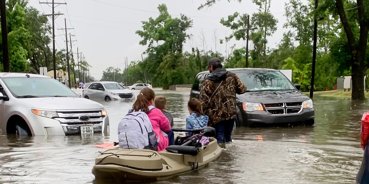
Scattered rains have moved across Texas’ western half, as well as eastern North Texas and the Ark-La-Tex. Heavy rains overnight may cause floods in the east Panhandle, Northwest Texas, West Texas, and the Big Country. Much of this evening’s activity is headed north/northeast.
Severe thunderstorms are unlikely over the next few hours. This will alter after midnight, as upper-level lift rapidly increases across the Permian Basin and West Texas.
A line of thunderstorms will quickly form and move east at 40 to 50 mph early Monday morning. The most severe weather threat, including the chance of hurricane-force wind gusts and a few tornadoes, is predicted from 1 a.m. to 6 a.m. Monday in Northwest Texas, Big Country, Concho Valley, eastern Permian Basin, western Texoma, and western North Texas as a line of storms moves east.
Strong wind shear and winds above the surface will result in a thin but well-organized band of storms with heavy rain and gusting winds. Some storms may bring stronger winds from above the surface down to ground level.
The most powerful storms can cause destructive wind gusts of 60 to 80 mph. In addition to the destructive wind hazard, embedded tornadoes are probable.

The various storms inside the squall line will move north/northeast. In contrast, the line continues east before daybreak Monday through Northwest Texas, West-Central Texas, Big Country, the Permian Basin, and Concho Valley into western North Texas. Although not all storms will produce catastrophic winds or tornadoes, it will be windy overnight even if no storms form.
Once the storm line passes across your area, strong westerly winds and a swiftly clearing sky are expected. The line of storms will pass across the eastern part of Texas Monday morning and afternoon.
The severe weather threat is likely to decrease when storms approach and travel east of Interstate 35, thanks to a more stable low-level airmass. That less unstable airmass will make it more difficult, but not impossible, to transfer greater winds to the ground.
A brief tornado cannot be ruled out for the eastern half of Texas tomorrow. The line of thunderstorms will quickly move into Arkansas and Louisiana by mid-afternoon on Monday. Several storms may linger in the Golden Triangle until nightfall.


