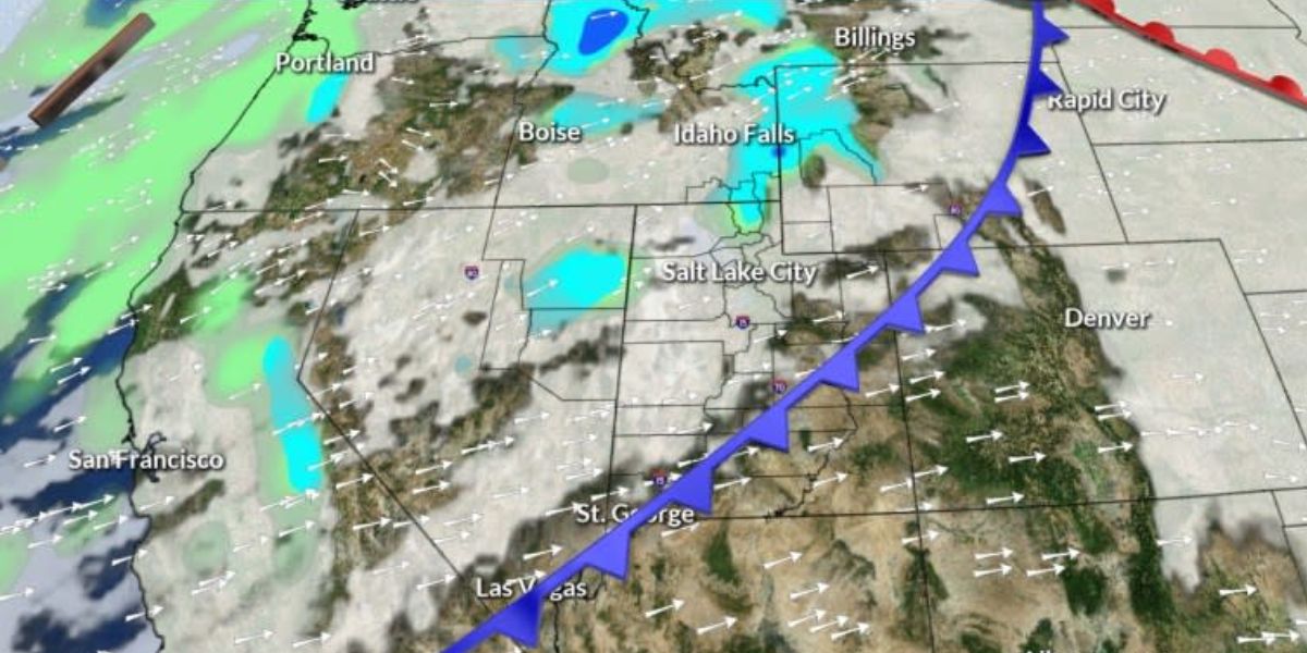
This week’s high-pressure system will bring dry weather to the Pacific Northwest.
Inland locations, such as the Columbia River Gorge and sections of the Willamette Valley, should expect prolonged fog and low clouds, as well as temperatures below average.
Coastal and higher regions, on the other hand, can look forward to sunlight and mild weather till midweek.
Rain chances increase by late Wednesday as weather patterns alter, bringing the possibility of precipitation this weekend. Snow levels will remain high, protecting the Cascade passes from early snowfall.

Temperatures in Salem and Eugene may approach record highs, with Portland’s airport forecasting a minor chance of 60°F on Friday.
While the date of the rain remains unpredictable, wetter weather appears to be more likely as the weekend unfolds. Be prepared for a dramatic weather shift!


