On the evening of February 10, 2025, a line of showers and gusty thunderstorms moved into northern Alabama, bringing lightning, strong winds, and heavy rain to several cities.
As of 9:22 PM CST, the storms were approaching Huntsville, Athens, and Scottsboro. While these storms were not classified as severe, they still posed potential hazards to residents in their path.
Storm Details and Affected Areas
The thunderstorms originated from a system moving eastward, producing scattered showers throughout the day before intensifying in the evening. The storm’s strongest cells brought lightning, occasional downpours, and wind gusts exceeding 30 mph in some locations. Areas such as Madison, Morgan, Limestone, and Jackson counties saw the most intense activity, with brief periods of heavy rain reducing visibility on roads.
Residents in Huntsville and Athens reported bright flashes of lightning illuminating the night sky, followed by loud thunder. Some areas experienced minor tree damage due to the strong wind gusts, although no significant power outages or structural damage were reported. The storms moved southeast at a steady pace, prompting weather alerts for parts of DeKalb County.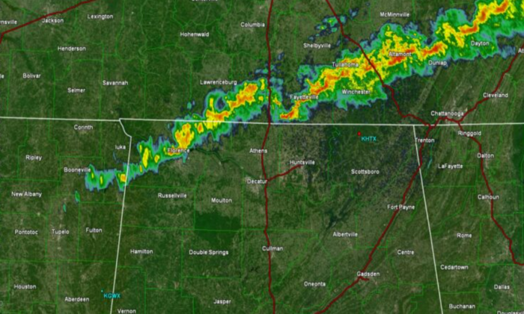
Safety Warnings and Precautions
Weather experts advised residents to take necessary precautions as the storms passed through. The presence of lightning meant that anyone outdoors was at risk of being struck. Authorities reminded the public of the essential weather safety rule: “If you can hear thunder, you are close enough to be struck by lightning.” Residents were urged to stay indoors until the storms had completely moved out of their area.
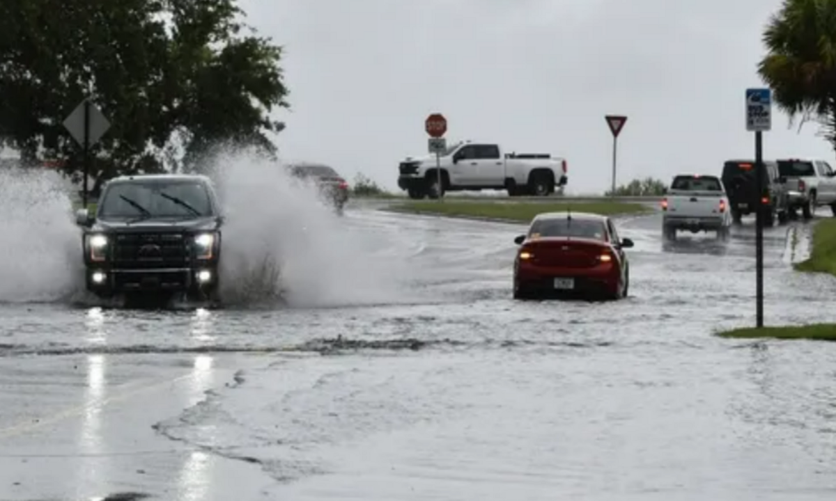
Additionally, meteorologists warned drivers to exercise caution on the roads. Heavy rain in short bursts led to wet and slick conditions, increasing the chances of hydroplaning. Drivers were advised to reduce speed and maintain a safe distance between vehicles to avoid accidents. Wind gusts could also cause difficulties for high-profile vehicles, such as trucks and SUVs, especially on elevated roads and bridges.
Storms Expected to Weaken Overnight
As the night progressed, meteorologists predicted a gradual weakening trend in the storm system. While the storms initially carried significant energy, they were expected to lose intensity as they moved farther south. By midnight, most areas in northern Alabama would likely experience only light showers, with gusty winds becoming less of a concern.
Although severe weather was not anticipated, local authorities continued to monitor conditions in case of any unexpected developments. Residents were encouraged to stay updated through local news channels and weather apps for real-time alerts.
Looking Ahead: More Rain Possible Later in the Week
While these storms were not classified as a major weather event, they serve as a reminder of Alabama’s unpredictable weather patterns. Meteorologists are keeping an eye on another system forming in the western U.S., which could bring additional rain to the region later in the week. Early models suggest that by Thursday or Friday, another round of showers could impact parts of Alabama, although it is too early to determine the severity of the next system.
For now, residents can expect clearing skies and cooler temperatures in the wake of this storm. Wind will remain breezy into the early morning hours in Alabama, but conditions should improve by sunrise, allowing for a dry and mild start to the day.
Conclusion
The line of thunderstorms that moved through northern Alabama on Monday night brought gusty winds, lightning, and brief heavy rain but did not escalate into severe weather. While no major damage was reported, the storms served as a reminder for residents to always stay prepared for changing weather conditions. As Alabama enters a period of active weather patterns, staying informed and taking necessary precautions will be crucial in avoiding weather-related hazards.
Disclaimer—Our team has checked this article to ensure its accuracy and eliminate any misinformation. We are committed to providing clear and reliable information for our readers.