The National Weather Service (NWS) canceled the tornado watch for parts of New Jersey on Saturday, May 31, 2025, but residents should remain alert as severe weather continues to threaten the region. Despite the cancellation of the tornado watch, the possibility of damaging thunderstorms, gusty winds, hail, and localized flooding persists through the day.
Tornado Watch Cancellation: What It Means
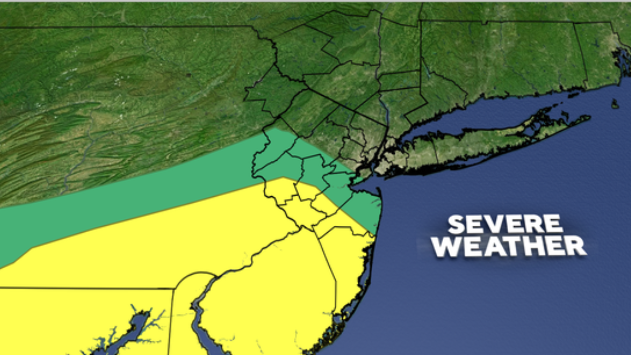
Earlier in the day, the NWS had issued a tornado watch for several counties in New Jersey, including Monmouth and Ocean counties, warning residents about the potential for tornado formation amid unstable weather conditions. However, as weather patterns shifted and the storm system moved eastward, the watch was lifted, signaling a decreased likelihood of tornadoes.
While the cancellation is a positive sign, meteorologists stress that the storm threat is not over. The area remains under a severe thunderstorm risk, with strong winds and hail still possible.
Current Weather Conditions Across New Jersey
At the time of the cancellation, cities like Newark and Trenton experienced steady rainfall, with temperatures in the low 60s Fahrenheit (around 17°C). The National Weather Service forecast predicts a mix of sun and clouds throughout the day, with periods of showers and isolated thunderstorms expected. These storms may bring gusty winds, small hail, and brief heavy rain.
The forecasted high temperatures are in the low 70s Fahrenheit (around 21°C), with nighttime lows dropping to around 50°F (10°C). The approaching cold front is responsible for stirring the atmospheric instability that fuels these storms.

What Residents Should Expect
Meteorologists warn that severe thunderstorms could develop or continue throughout the afternoon and evening. These storms have the potential to produce:
- Gusty Winds: Winds may reach speeds that can down trees, power lines, and cause damage to structures.
- Small Hail: Hailstones may form and damage vehicles, crops, and roofs.
- Heavy Rainfall: Localized heavy downpours can lead to flash flooding, especially in areas with poor drainage or saturated ground from previous rainfall.
Safety Recommendations
Officials urge residents to stay informed and prepared as the severe weather threat continues.
- Monitor Weather Alerts: Keep track of updates from the National Weather Service and local news outlets. Signing up for emergency alerts on your phone can provide timely warnings.
- Prepare Emergency Kits: Have essentials ready, including bottled water, non-perishable food, flashlights, batteries, a first aid kit, and any necessary medications.
- Plan Safe Shelter: Know where to go in case a severe thunderstorm or tornado warning is issued. A basement or an interior room without windows is safest.
- Avoid Flooded Roads: Never attempt to drive through flooded streets. It takes only a few inches of water to sweep a vehicle away.
Recent Storm History
New Jersey and surrounding areas have experienced increasing instances of severe weather in recent years, a trend scientists link to changing climate patterns. While tornadoes are relatively rare in the state compared to the Midwest, they can and do occur, often accompanied by strong thunderstorms.
Residents are encouraged to review their preparedness plans annually and stay alert during storm seasons to minimize risk.
How to Stay Updated
For the most accurate and up-to-date weather information, residents can consult these trusted government sources:
- The National Weather Service (NWS) website: www.weather.gov/
- The Federal Emergency Management Agency (FEMA) offers guidance on disaster preparedness and response: www.ready.gov/severe-weather
These resources provide timely weather alerts, preparedness tips, and detailed guidance on how to react during severe weather events.