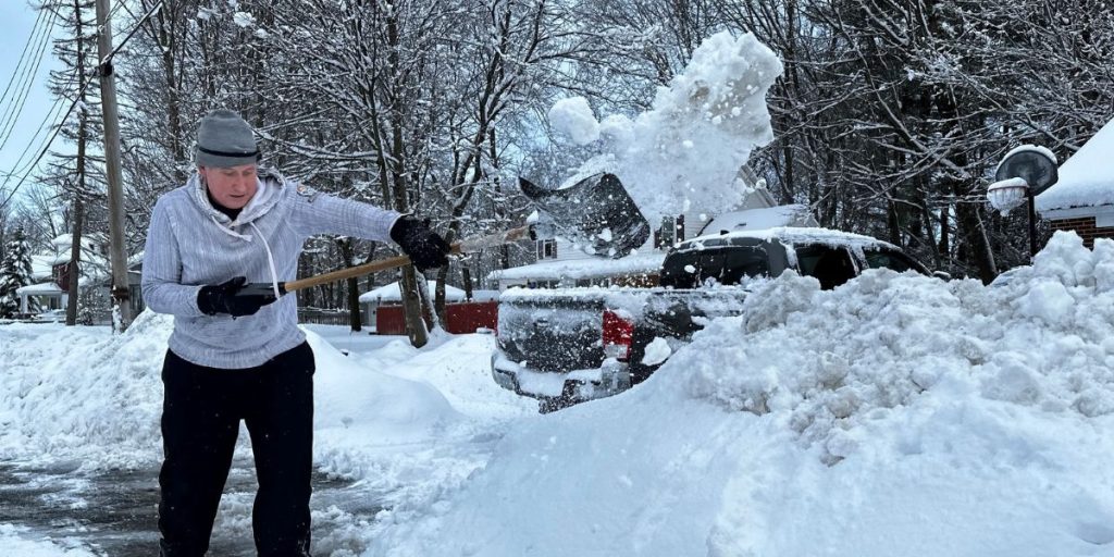
This week, a major two-pronged winter storm will deliver sharp contrasts across the country, stretching over 2,000 miles. While the Northeast braces for frigid conditions, the South expects torrential downpours and flash flooding.
Travelers could expect considerable interruptions, while homeowners should be prepared for floods, severe thunderstorms, strong winds, and heavy snowfall.
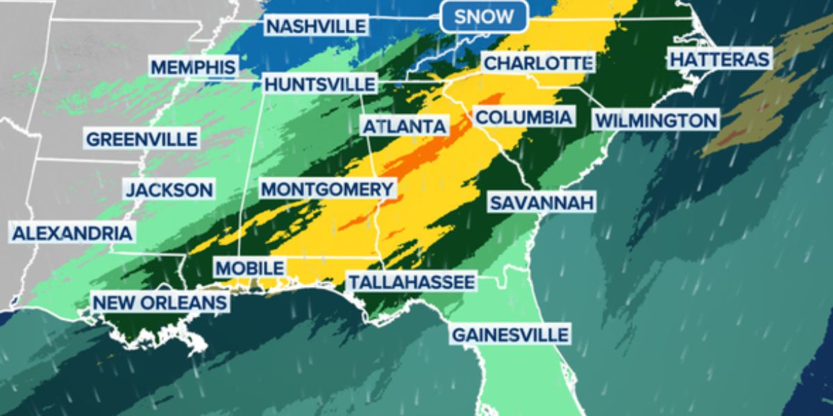
The Deep South will have multiple rounds of heavy rain, notably in Texas, Louisiana, Alabama, and Georgia, according to the FOX Forecast Center. Rainfall totals will be between 2-3 inches, with locally higher amounts of more than 5 inches likely.
The worst rain is forecast in Louisiana and southern Alabama. Late Tuesday will be the peak period for flash flooding, as the threat spreads to towns from Atlanta to Mobile, Alabama, and eventually the whole East Coast.
Additionally, a low risk of severe weather exists on Tuesday and Wednesday. As the cold front passes quickly through, damaging wind gusts and perhaps a tornado are conceivable.
The Northeast will have a different type of winter weather.
Rounds of beneficial rain are expected to fall on the Northeast and the Interstate 95 corridor through Thursday morning, according to the FOX Forecast Center. Areas near I-95 might get 3-5 inches of rain.
On Monday, towns including Pittsburgh, Columbus, Ohio, and Charleston, West Virginia, began their days with umbrellas.
The greatest rain is forecast to fall on major urban areas along Interstate 95 on Monday afternoon, just in time for evening rush hour. While flash flooding is not expected, travel may be hazardous during any downpour.

The second round of rain will arrive Wednesday, bringing a far larger system when a powerful cold front drenches the eastern section of the Lower 48.
The FOX Forecast Center predicts that Wednesday will be a washout, with an increased risk of flash flooding along the I-95 corridor. This rain will arrive well ahead of the advancing cold front, propelled by tropical-like moisture flowing from the Southeast.
The greatest effects are projected from New York City to Boston. Some areas might receive more than 3 inches of rain from both storm systems combined.
While this rain won’t completely remove drought concerns, it will provide a significant boost as the new year approaches, according to the FOX Forecast Center.
As colder air rushes back into the region behind the cold front that caused Wednesday’s rains, rain may mix with or turn to snow over sections of the interior Northeast and New England by Wednesday night.
However, due to the damp ground and warmer temperatures before winter arrives, it is too early to estimate where snow will fall and how much will collect.
The Great Lakes region, already devastated by recent snowstorms, is bracing for another bout of lake-effect snow, which is predicted to begin Wednesday and last through Friday.
A significant snow band is likely to form off Lakes Erie and Ontario, while its exact location is unknown, according to the FOX Forecast Center.
If winds shift to the southwest, the greatest snowfall could hit western New York. Otherwise, the most significant effects might be felt along the lakeshore from Lake County in northeastern Ohio to parts of northern Ashtabula County in Ohio and Erie County in Pennsylvania.
A secondary front on Wednesday night may provide a temporary shift in snowfall patterns, but heavy snow is expected in lakefront communities.


